With this inaugural Culinaria research project, we set out to explore how food built and shaped a suburban neighborhood. Explore our interactive map to investigate the evolution of “Scarborough Chinatown” over the past thirty years, read a selection of primary sources, and find new restaurants and take-out places to try out!
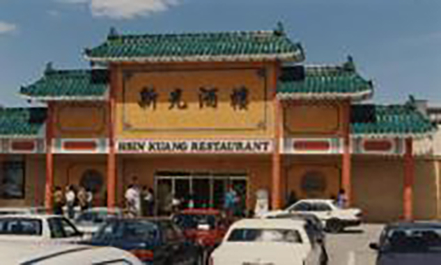
The area we focused on, around the Sheppard and Midland intersection in Scarborough, was farmland until the postwar construction boom and immigration wave turned Toronto into a sprawling, diasporic city. Suburbia soon conquered the fields and single-family homes sprang up throughout the 50s and 60s. In the mid-80s, the neighborhoud witnessed a new wave of change as Chinese entrepreneurs and restaurateurs moved their business from the downtown Chinatown. This quick growth did not go unnoticed and created tensions between the existing, predominately white, inhabitants, and the new community. The issue of parking, especially on weekend, crystallized animosities as Chinese shoppers from various parts of the Greater Toronto Area drove to Sheppard and Midland to conveniently eat and shop. The area is today one of Toronto’s main “Chinatown.”
While the neighborhood underwent this rapid evolution, the Multicultural History Society of Ontario set out to visually record the diverse Toronto streetscape. One of the key area they documented was one they called “Scarborough Chinatown,” we kept the name as the title of our project. We digitized the MHSO historical pictures of the neighborhood and then retraced late 80s photographers paths to document the evolution of the restaurant and storefronts in the area. Most changed, some remained. Some of the early shopping centre disappeared all together to give place to even larger malls.